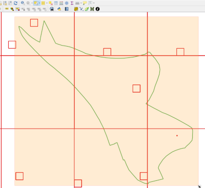
Key Users of BRERC data can use GIS software to access all of BRERC's species data at their own convenience. This data access is taken live from our secure systems, and so represents the latest available digitised information to aid and inform your decision making.
Instructions are currently available for accessing the data via MapInfo Professional and the freely available QGIS package.
If you hold a service agreement and wish to make use of this service, please contact BRERC to discuss obtaining the required access
Live Data Access Instructions (Mapinfo)
Live Data Access Instructions (QGIS)
NB: There are currently no instructions available for ArcGIS. After a joint investigation with one of our service users, it appears ArcGIS functionality to query data via a Web Feature Service for a specific site is currently limited. The necessary functionality may be added in a future release of ArcGIS. BRERC will keep the situation under review and add access instructions when it becomes feasible to do so.